

Village in Salisbury, Essex County
Salisbury Beach Homes For Sale
MA
$0
Median sale price, ZIP 01952 (Redfin, 3 months ending Oct 2026)
0 days
Average days on market, ZIP 01952 (Redfin, same period)
0 mi
Ocean beach, Merrimack River to New Hampshire (DCR, 2008)
01952
Street ZIP, shared with the rest of Salisbury
Location
Where Salisbury Beach is Located
Live Listings
Homes For Sale in Salisbury Beach, MA
Listing information is provided by the MLS. Information is deemed reliable but not guaranteed and should be independently verified. Listings displayed may be subject to prior sale or withdrawal.
A Local's Perspective
Salisbury's Oceanfront Village, on the New Hampshire Line
Salisbury Beach is a village inside the Town of Salisbury, in Essex County. It is not a separate town, and it is not its own census-designated place, so it does not have a population count of its own. The Census place named Salisbury counted 5,629 people in 2020; that figure covers a statistical area inside the town, not the beach alone. The town itself counted 9,236. Street addresses at the beach use ZIP code 01952, the same ZIP as the rest of Salisbury. The town's other named places — Salisbury Square, Salisbury Plains, and Ring's Island — sit inland or on the Merrimack. The beach is the barrier spit: the Great Marsh to the west, the Merrimack River at the south end, the Atlantic to the east, and Seabrook, New Hampshire, at the north end. Massachusetts Route 1A comes east from the town center on Beach Road and turns north along the shore to meet New Hampshire Route 1A. Interstate 95 Exit 60 and Route 286 are the highway access to the beaches.
Beach Road was built across the Great Marsh in 1866, and the shore became a summer resort. A Charles I. D. Looff carousel, the Flying Horses, was installed in 1914. Pirate's Fun Park, the last small amusement park, closed in 2004 and was replaced with condominiums. The town's open space plan still describes the beach as dense residential and commercial development wrapped by salt marsh, and it still calls the commercial core the Beach Center, along Broadway. In 2022 the town started replacing temporary placemaking on the Broadway Mall with a permanent streetscape; design drawings were finished in 2023–2024. North of Beach Road, North End Boulevard is the oceanfront residential stretch toward the state line. South of the center, Salisbury Beach State Reservation holds the public beach and the campground. DCR's September 2008 barrier-beach plan describes a 521-acre reservation, 3.8 miles of ocean beach from the Merrimack to the New Hampshire border, about a mile of river beach, 484 campsites on the west side, and two boat ramps. The town's later open space inventory lists the reservation at about 520 acres and calls it the Commonwealth's busiest state park, with over one million visitors a year. The reservation's published address is State Reservation Road.
Sale prices published for 01952 are ZIP prices, not a beach-only median. Redfin's page for 01952, covering the three months ending October 2026, reports a median sale price of $652,000, up 1.1 percent from the same period a year earlier. The median sale price per square foot was $366, down 26.3 percent. Homes sold after 40 days on the market on average, compared with 33 days the year before, and 41 homes sold in October 2026. A Broadway condo and a house on North End Boulevard do not share that median. The listings block on this page is the live search for Salisbury Beach. Beach addresses are taxed by the Town of Salisbury. The town's FY2025 tax-rate sheet — the rate document posted on the town site, with a status date of December 4, 2024 — shows a single rate of $10.08 per $1,000 for residential, commercial, industrial, and personal property. The assessor's office is at Town Hall, 5 Beach Road. Confirm the bill for the current fiscal year before you compare two houses.
Salisbury Beach is part of Salisbury — back to Salisbury homes for sale
At a Glance
- Status
- Village in the Town of Salisbury
- County
- Essex County, Massachusetts
- Census count
- No separate beach population
- Ocean beach
- 3.8 miles, Merrimack to New Hampshire
- Street ZIP
- 01952, shared with Salisbury
- Reservation
- 521 acres (DCR plan, 2008)
- FY2025 tax rate
- $10.08 / $1,000, single rate
Source-verified as of 2026-11-12.
Highlights
Why People Choose Salisbury Beach

Salisbury Beach State Reservation
DCR's 2008 plan describes 521 acres at the southern end of the spit: 3.8 miles of ocean beach, about a mile of river beach, 484 campsites, and two boat ramps on the Merrimack. The town's open space inventory lists about 520 acres and more than a million visitors a year. The published address is State Reservation Road.
Beach Center and Broadway
The commercial core of the village. The town's open space plan recalls the old arcades and the Frolics, and records a Broadway Mall streetscape that moved from temporary improvements in 2022 to finished design drawings in 2023–2024. Condominiums replaced Pirate's Fun Park after it closed in 2004.
North End Boulevard
The oceanfront street north of Beach Road, running toward Seabrook. The town's open space plan describes chronic flooding in the neighborhoods by the Blackwater River marshes at this end of the beach, and a flood wall built from 2016 into early 2017 that reduced the worst of it. Streets next to the marsh still flood.
Erosion on a barrier beach
The town's open space plan says the southern end has historically eroded the most, and that the Beach Center and the north end have taken storm damage in recent years. Allowed responses are sand, dune grass, and fencing. Hard structures such as rock are not permitted. Ocean waves and marsh flooding are two different problems on the same spit.

Beach Road, Route 1A
The 1866 road across the marsh is still the way in from Salisbury Square. Route 1A follows it to the center, then turns north along the beach. The Essex Coastal Scenic Byway uses this stretch on its way to the Beach Center.
Neighborhoods
Salisbury Beach's Neighborhoods & Villages
Beach Center and Broadway
Shops, the Broadway Mall, and the condominium buildings that replaced the last amusement park. This is the walkable pocket of the village. Groceries and Town Hall are back on Beach Road, not on the sand.
North End Boulevard
Oceanfront houses north of Beach Road, between the Atlantic and the marsh, running toward Route 286 and Seabrook. The Blackwater marsh side is the stretch the town's flood-wall project was built to protect.
State reservation and the south end
Campground, day-use beach, and the Merrimack end of the spit, including the boat ramps. Less of the cottage street grid than Broadway and North End Boulevard, and the part of the beach the town says has eroded the longest.
Beach Road across the marsh
The approach from Salisbury Square. Houses and side streets sit between the marsh and the beach center, on the road that has been the only land route to the shore since 1866.
Lifestyle
Life in Salisbury Beach
Day-to-day Salisbury Beach is a barrier-spit village: a summer beach and a large seasonal crowd, with houses and condominiums on the same streets the rest of the year. The elementary school, the library, and Town Hall are inland. The state reservation is at the south end of the same beach.
Schools
Schools Serving Salisbury Beach
Public Schools
Salisbury Elementary School
PreK–6, 100 Lafayette Road, Salisbury
Triton Regional Middle School
Grades 7–8, 112 Elm Street, Byfield — shared campus with the high school
Triton Regional High School
Grades 9–12, 112 Elm Street, Byfield — district with Newbury and Rowley
School assignments are subject to change — always verify directly with the school district before making a decision. Source (verified 2026-11-12)
Nearby Communities
How Salisbury Beach Compares
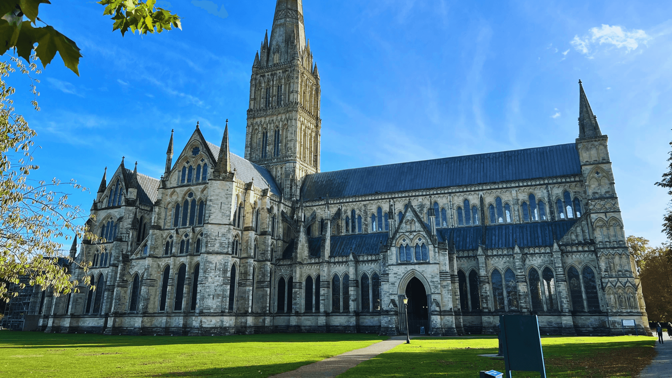
Salisbury
The town Salisbury Beach belongs to. Square, Plains, Ring's Island, the elementary school, and Town Hall are inland. Taxes and zoning are Salisbury's.

Seabrook
The next town north, across the state line on Route 1A. Seabrook Beach continues the sand. Seabrook is in New Hampshire; Salisbury Beach is not.
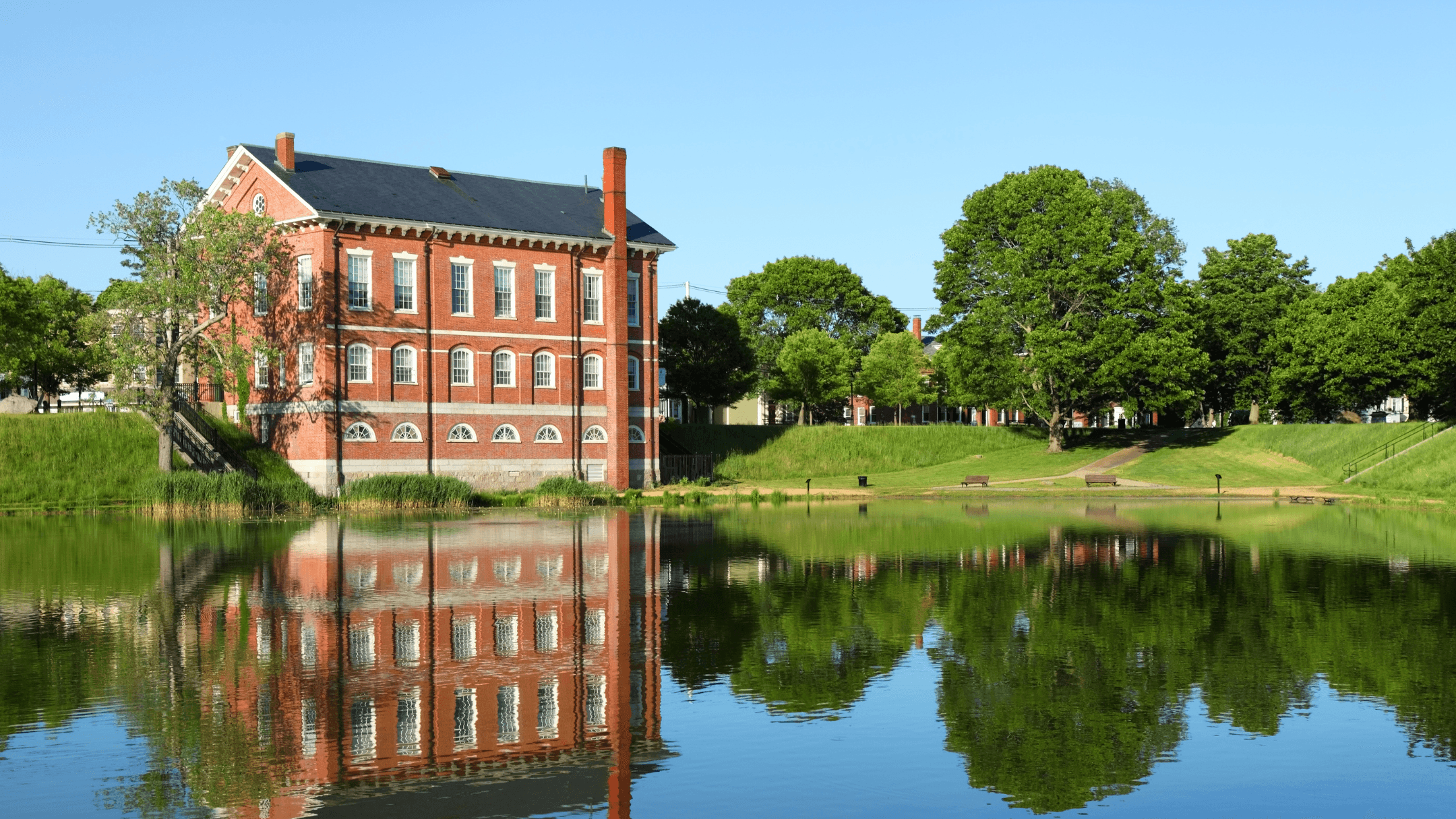
Newburyport
Across the Merrimack, and the nearest MBTA Commuter Rail station. The ferry from Newburyport was the way onto the beach before Beach Road opened in 1866.

Hampton Beach
The New Hampshire barrier-beach village one town farther north, inside the Town of Hampton, with its own beach-precinct tax. A different town and a different state.
FAQ
Salisbury Beach Real Estate — Frequently Asked Questions
Is Salisbury Beach its own town?
No. Salisbury Beach is a village in the Town of Salisbury, Essex County. It is not a separate municipality and not its own census-designated place. Taxes, zoning, and town services are Salisbury's. Seabrook, to the north, is a different town in New Hampshire. The town's other villages — Salisbury Square, Salisbury Plains, and Ring's Island — are inland or on the river, not on this spit.
What is the property tax rate at Salisbury Beach?
Beach addresses are taxed at the Town of Salisbury's rate. The town's FY2025 tax-rate sheet, status as of December 4, 2024, shows a single rate of $10.08 per $1,000 of assessed value for residential, commercial, industrial, and personal property. That is the rate document posted on the town site. The assessor's office is at Town Hall, 5 Beach Road. Confirm the fiscal year on the bill before you compare two houses.
What schools serve Salisbury Beach?
Salisbury Beach addresses are in the Salisbury and Triton schools. Salisbury Elementary School, pre-kindergarten through grade 6, is at 100 Lafayette Road in Salisbury. Grades 7–8 attend Triton Regional Middle School and grades 9–12 attend Triton Regional High School, both at 112 Elm Street in Byfield, a village in Newbury. The high school states that the district serves Newbury, Rowley, and Salisbury. None of these campuses is on the oceanfront strip. Confirm the current assignment with the district for a specific address.
What do homes sell for at Salisbury Beach?
Redfin does not publish a separate median for the beach village. Its ZIP 01952 report for the three months ending October 2026 shows a median sale price of $652,000, up 1.1 percent from a year earlier, a median of $366 per square foot, an average of 40 days on market, and 41 sales in October 2026. That ZIP covers the whole town, including inland houses. Use the live listings on this page for what is actually for sale, and treat the median as ZIP context, not a price for any one unit.
Is Salisbury Beach in a flood zone?
Much of the spit floods, and not all of it floods the same way. The town's open space plan says ocean waves erode and overtop dunes onto private property and roads, and that the salt marsh floods in coastal storms and high tides on the streets that border it. The southern end has historically eroded the most. At the north end, a Blackwater River flood wall built from 2016 into early 2017 reduced the worst marsh flooding, and streets next to the marsh still flood. Check the current FEMA map for the specific address before you rely on a town-level description.
Do Salisbury Beach homes have an HOA?
There is no village-wide association. Condominium buildings — including buildings that replaced Pirate's Fun Park after it closed in 2004 — have their own associations, with dues that can cover insurance, the roof, or shared grounds. A house on its own lot often has none. Ask for the documents on any home that is part of a recorded association, and read what the dues actually cover.
How do you commute from Salisbury Beach to Boston?
Salisbury Beach has no train station. The usual drive is Beach Road out to I-95 south, on the order of an hour off-peak and longer at peak. The nearest MBTA Commuter Rail stop is Newburyport, a short drive south across the Merrimack, on the Newburyport/Rockport Line into North Station. The Merrimack Valley Regional Transit Authority runs local buses that serve the town, including the beach.
Looking at Salisbury Beach homes?
Bentley's Real Estate covers Salisbury Beach as part of Salisbury — oceanfront and marsh-side listings, how the town tax bill reads, and the flood and association questions to settle before an offer. Call or send a note and we will walk Broadway and North End Boulevard with you.