
Essex County, Massachusetts
Amesbury Homes For Sale
MA
$0K
Avg. Sale Price (2026 YTD)
0
Active Single-Family Listings
0
Months of Supply
0
Incorporated
Location
Where Amesbury is Located
Live Listings
Homes For Sale in Amesbury, MA
Listing information is provided by the MLS. Information is deemed reliable but not guaranteed and should be independently verified. Listings displayed may be subject to prior sale or withdrawal.
A Local's Perspective
Massachusetts' Millyard Revival on the Merrimack
Amesbury sits on the north bank of the Merrimack River at its confluence with the Powow River, in Essex County, Massachusetts. Settled in 1642 and incorporated as a town in 1668, it originally included what is now Merrimac (which split off in 1876) and later annexed part of neighboring Salisbury in 1886. Since 1996 Amesbury has operated as a "town with a city form of government" — legally a city, still called a town locally.
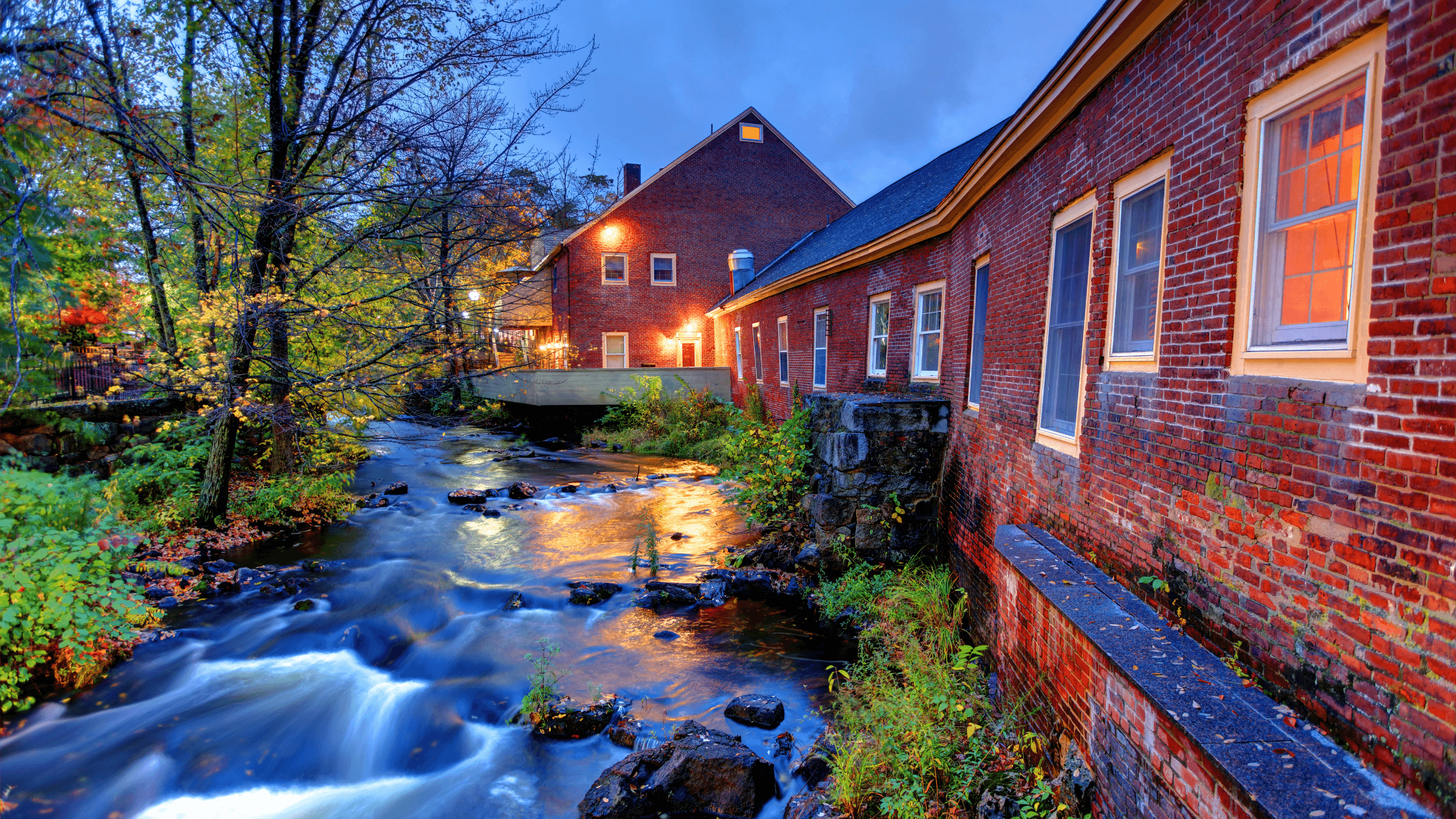
The town's 19th-century economy centered on carriage manufacturing — Walker Body Co. and Briggs Carriage Co. among the largest — which evolved into early automobile-body work before declining after the Great Depression. That mill-town legacy is now visible in Amesbury's downtown Millyard, where former mill buildings house breweries, restaurants, and residential loft conversions along the Powow River.
Housing supply in Amesbury is exceptionally tight: Bentley's own market data shows active single-family listings down from 37 in 2014 to just 4 today, with average sale prices climbing from $331K to $657K over the same period and just 0.38 months of supply as of March 2026 — among the tightest markets in the Merrimack Valley.
At a Glance
- Population
- 17,366 (2020 Census)
- Land Area
- 12.29 sq mi
- County
- Essex, MA
- FY2026 Tax Rate
- $15.05 / $1,000
- Downtown Walk Score
- 92 / 100
Source-verified as of 2026-07-23.
Highlights
Why People Choose Amesbury

A Revitalized Millyard Downtown
Former 19th-century mill buildings along the Powow River now house Brewery Silvaticus, Barewolf Brewing, Mill 77 Brewing, restaurants, and residential loft conversions.

Lowell's Boat Shop
Founded in 1793, it's the oldest continuously operating boat shop in America and a National Historic Landmark still building wooden dories today.
Lake Gardner & the Riverwalk
A town-owned lake with a lifeguarded public beach and shoreline trails, plus the Amesbury Riverwalk — over a mile of path along the former rail bed and the Powow River.

Regional Road & Rail Access
Close to I-95 and I-495, with MBTA Commuter Rail access to Boston's North Station from the nearby Newburyport and Haverhill stations on the Newburyport/Rockport Line.

Layered Local History
Birthplace of Declaration signer Josiah Bartlett; home to poet John Greenleaf Whittier (1836–1892) and a preserved Mary Baker Eddy historic house.
Amesbury Days
A summer town festival dating to 1899 — 2026 marks its 127th year, with a brewfest, citywide yard sale, pancake breakfast, and fireworks each summer.
Neighborhoods
Amesbury's Neighborhoods & Villages

Point Shore / Salisbury Point
A riverfront village along the Merrimack built up by 18th- and 19th-century ship captains and shipbuilders — Amesbury's town planning documents identify it as one of the community's most historically significant areas.

Downtown / Millyard District
The former mill core along the Powow River, now zoned as the Lower Millyard Overlay District, mixing breweries, restaurants, and residential loft/condo conversions in restored brick mill buildings.

Rocky Hill
Named for the 1785 Rocky Hill Meeting House (owned by Historic New England and individually listed on the National Register), now also the site of the Rocky Hill Multi-Family Overlay District near I-95/I-495.
Lake Attitash Area
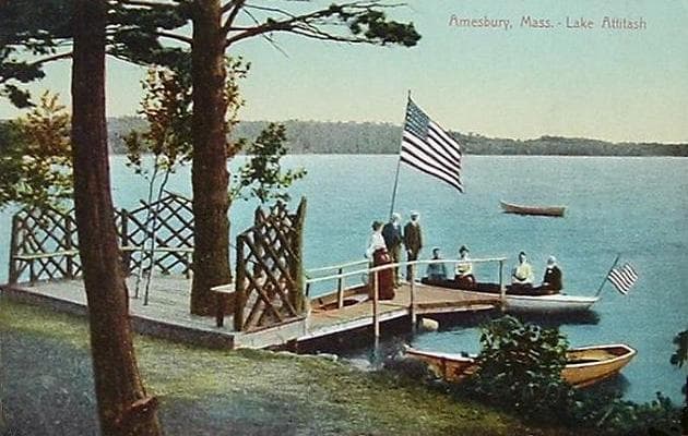
The neighborhood around 360-acre Lake Attitash, shared with neighboring Merrimac, mixing year-round homes with older cottage-style properties.
Route 110 Corridor
Generally the area of Amesbury with the newer housing stock relative to the historic downtown core.
Lifestyle
Life in Amesbury
Amesbury pairs riverfront recreation with a revitalized downtown built into the town's old carriage-manufacturing mills.
Parks & Recreation
Parks in Amesbury
Lake Gardner
- Lifeguarded public beach
- Shoreline trails
- Weekend kayak/canoe rentals
Woodsom Farm
- Town conservation land
- Marked hiking trails
- 2.8-mile Woodsom Farm North loop
Powow River / Powow Hill Conservation Area
- Boardwalk trail network
- Along Lake Gardner's eastern shore

Amesbury Riverwalk
- Mile-plus paved path
- Follows the former rail bed
- Connects toward the Merrimack River
Schools
Schools Serving Amesbury
Public Schools
Sgt. Jordan Shay Memorial Lower Elementary School
Elementary
Cashman Elementary School
Elementary
Amesbury Middle School
Grades 6–8
Amesbury High School
Grades 9–12
Amesbury Innovation High School
Grades 9–12 (Innovation Model)
School assignments are subject to change — always verify directly with the school district before making a decision. Source (verified 2026-07-23)
HOA & Condo Communities
Amesbury Associations
Amesbury's downtown Millyard and riverfront include several established condominium associations, from historic mill conversions to a waterfront 55+ community.
Carriage Lofts Condominiums
Loft-style condo conversion in a former mill building in the downtown Millyard.
Sandlewood Pointe
Garden-style condominium community of 75 owner-occupied units.
Hatter's Point Condominiums
55+ waterfront condominium community near downtown Amesbury, on Merrimac Street.
Bartlett's Reach Condominium
Condo building with a clubhouse, garage parking, and in-building laundry.
New Construction
Building in Amesbury
Several multi-family developments are moving through Amesbury's planning and zoning process, driven partly by the state's MBTA Communities Act.
Rocky Hill Multi-Family Overlay District ("Golden Triangle")
A ~28-acre zoning overlay adopted October 2024 between I-95, I-495, and Elm Street, allowing up to 433 additional "missing middle" housing units by right, with a 10% affordability minimum. No final development plan had been approved as of early 2026.
Carriage Hill Redevelopment (1–9 Oakland St.)
A proposal under Planning Board review (first hearing November 2025) to convert the historic, vacant Carriage Hill mill complex into 124 residential units plus ground-floor commercial space.
27 Kimball Road
A proposed 95-unit rental development under the state's Chapter 40B affordable-housing statute, under town review as of November 2025.
Nearby Communities
How Amesbury Compares
Newburyport
~5 miles away with the nearest MBTA Commuter Rail station to Boston's North Station.
Salisbury
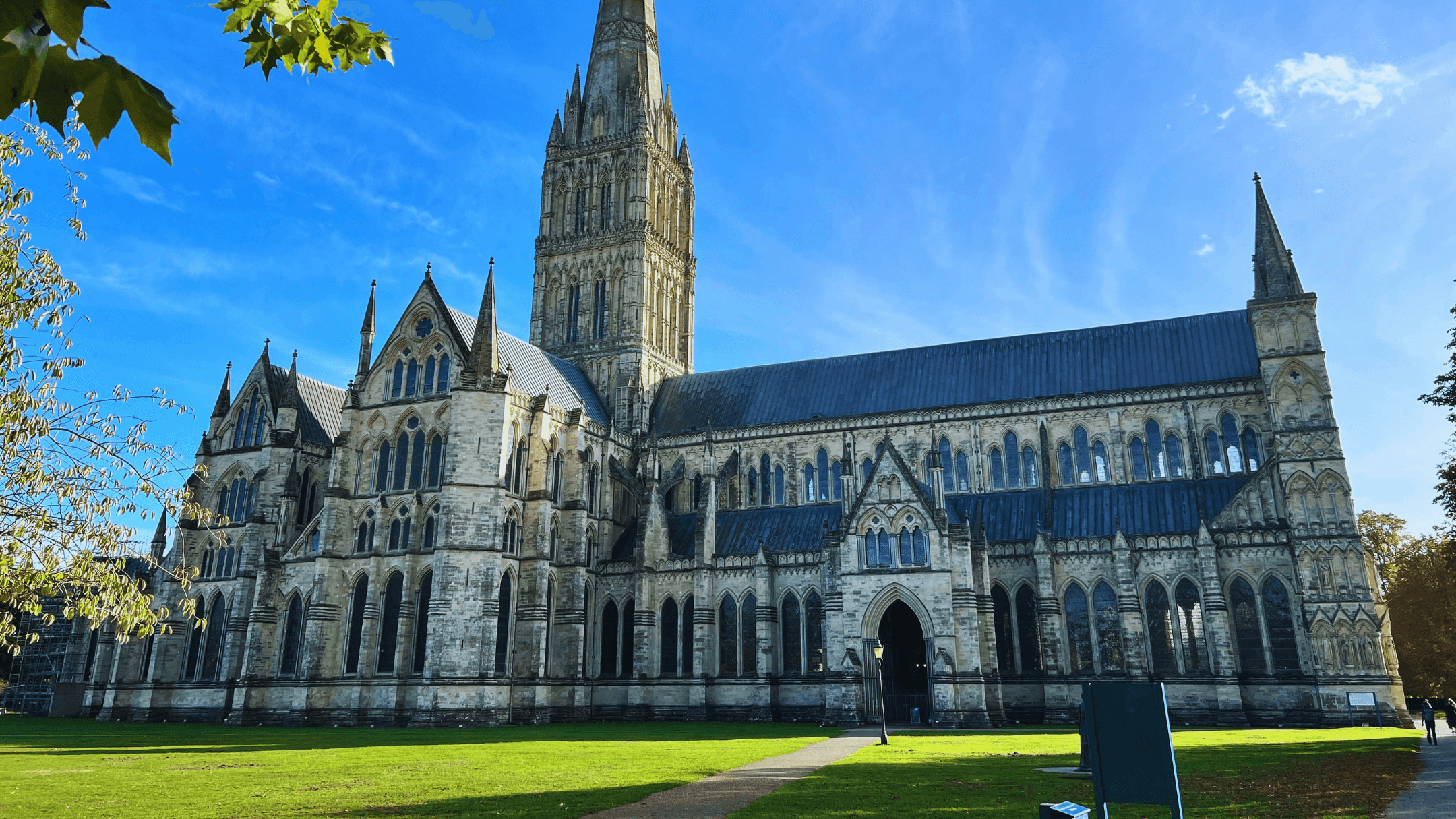
Coastal town home to Salisbury Beach State Reservation.
Merrimac
Originally part of Amesbury until splitting off in 1876; shares Lake Attitash.

West Newbury
More rural, agricultural character than Amesbury's downtown core.
FAQ
Amesbury Real Estate — Frequently Asked Questions
What is the property tax rate in Amesbury?
Amesbury's FY2026 residential tax rate is $15.05 per $1,000 of assessed value, down slightly from $15.30 per $1,000 in FY2025, per the town's own tax rate schedule.
How do I commute to Boston from Amesbury?
Amesbury doesn't have its own MBTA Commuter Rail station — the nearest stops are Newburyport (about 5 miles away) and Haverhill, both on the Newburyport/Rockport Line into Boston's North Station. Driving to downtown Boston typically runs 45–60+ minutes depending on traffic.
Are there flood risks near the rivers?
Amesbury sits at the confluence of the Powow and Merrimack Rivers. Flood-risk modeling estimates roughly 6.9% of Amesbury properties currently carry flood risk, projected to rise slightly over the next 30 years — buyers near the Merrimack, Powow, or Lake Gardner should check FEMA flood maps for the specific parcel.
Is Amesbury walkable?
It varies by location: downtown Amesbury scores 92/100 ("Walker's Paradise") on Walk Score, while the town overall is considerably more car-dependent outside that compact core.
What's the current home price range in Amesbury?
Recent third-party listing data puts Amesbury's median list price near $620K. Bentley's own market report shows an average 2026-YTD single-family sale price of $657K against extremely low inventory — about 0.38 months of supply.
Who provides water and sewer service?
Water and sewer utilities are municipally operated through the City of Amesbury's Water Department and DPW.
What schools would my kids attend?
Amesbury Public Schools operates Sgt. Jordan Shay Memorial Lower Elementary, Cashman Elementary, Amesbury Middle School, Amesbury High School, and Amesbury Innovation High School.
Insights
Working with us in Amesbury
Buying
Selling
Specialty homes
Choosing an agent
- How to choose the right agent
- How to choose the right agent (2)
- Comparing local agents
- What to expect from a local realtor
- Why a local realtor matters
- How to spot the best realtor
- What makes a top realtor
- Why local expertise pays off
- Why experience matters
- Finding an agent you can trust
- How to pick the perfect team
- Choosing a real estate company
- What to look for in an agency
- Looking for realtors with amazing reviews?
Curious what it's really like to live here?
Ready to Explore Amesbury?
Connect with Bentley's Real Estate for current listings, showings, and local market insight in Amesbury and across Greater Newburyport.