
Essex County, Massachusetts
Rowley Homes For Sale
MA
$0K
Median List Price
0
Active Listings
0
Population (2020 Census)
0
Incorporated
Location
Where Rowley is Located
Live Listings
Homes For Sale in Rowley, MA
Listing information is provided by the MLS. Information is deemed reliable but not guaranteed and should be independently verified. Listings displayed may be subject to prior sale or withdrawal.
A Local's Perspective
A Small Mill Town on the Great Marsh
Rowley was settled in 1638 by Rev. Ezekiel Rogers and a congregation of roughly twenty families — mostly cloth-workers — who sailed from Rowley, Yorkshire, England, wintered in Salem, then took land set off from Ipswich. The town was incorporated on September 4, 1639. Georgetown, Byfield, Groveland, and part of Haverhill were all originally part of Rowley's founding land grant.
A 1930 Massachusetts Bay Colony Tercentenary Commission marker still standing at Route 1 and Mill Street credits Rowley with the first fulling (wool-finishing) mill in the English colonies, built around 1643 by John Pearson. The stone arch bridge at the same site is real and historic, though local-history research disputes the popular claim that it dates to the 1640s — construction techniques point to it having been built between 1856 and 1872, on the foundation of the original mill site.
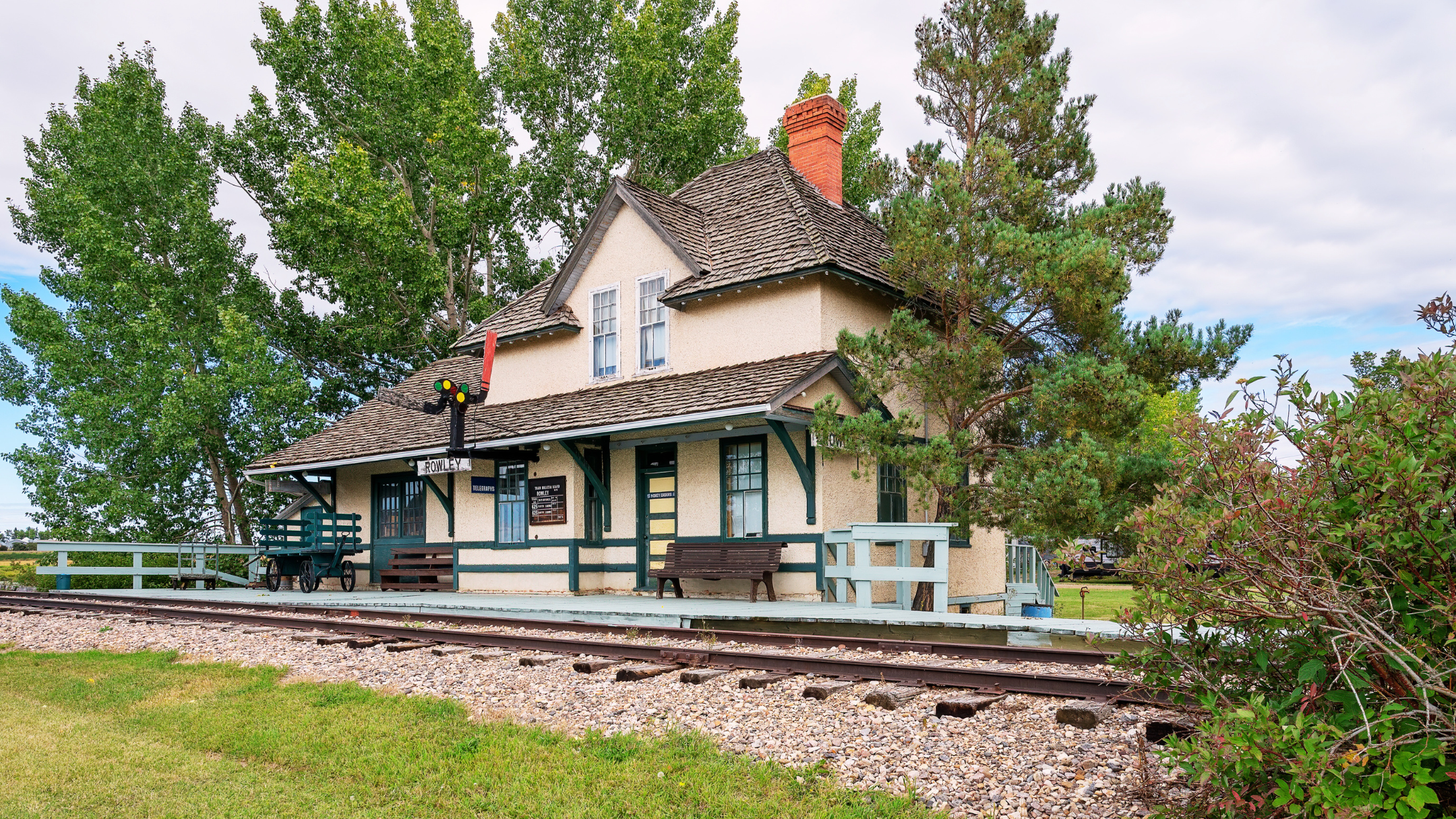
Today Rowley remains small and largely rural — 6,161 residents across 18.2 square miles — defined by the Great Marsh salt-marsh system it shares with Ipswich, Newbury, Newburyport, Essex, and Gloucester, and by its own MBTA Commuter Rail station on the Newburyport/Rockport Line, where some trains stop only on request.
At a Glance
- Population
- 6,161 (2020 Census)
- Land Area
- 18.2 sq mi
- County
- Essex, MA
- FY2026 Tax Rate
- $12.09 / $1,000
- Walk Score
- 40 / 100
Source-verified as of 2026-07-23.
Highlights
Why People Choose Rowley

Rowley Center Historic District & Town Common
The historic core around Main Street and the First Congregational Church, including the Training Place — a militia muster ground established in 1639.
The Jewel Mill & Stone Arch Bridge
The reconstructed 1942 mill building and a 19th-century stone bridge, on the site where the first fulling mill in the English colonies was built around 1643.

Rowley Burying Ground
Set aside in 1639 at the town's founding, on Main Street next to Town Hall.
Todd Farm Antiques & Flea Market
A long-running outdoor flea market on Main Street, open Sundays from April through November.

Platts-Bradstreet House
A c. 1677 First Period hall-and-parlor house on Main Street, now the headquarters and museum of the Rowley Historical Society.
Neighborhoods
Rowley's Neighborhoods & Villages

Rowley Center
The Main Street historic core around the town common and First Congregational Church.
Glen Mills
The historic mill village along the Mill River and Glen Street, centered on the Jewel Mill site.

Millwood
A small cluster of historically significant homes along Route 133 near Boxford Road, historically known as "Rooty Plain," centered on the Mill River's early mills.
Lifestyle
Life in Rowley
Rowley pairs small-town, marsh-side rural life with its own MBTA Commuter Rail stop and a genuine claim to early American textile history.
Parks & Recreation
Parks in Rowley
Rough Meadows Wildlife Sanctuary
- 266 acres (Mass Audubon)
- 1.7–2.6 miles of trails
- Marsh and river viewing, bird watching
Dodge Reservation
- 207 acres (Essex County Greenbelt)
- 2+ miles of marked trails
- Wetland, upland, and riverine terrain

Town of Rowley Landing
- Resident-permit boat ramp on the Rowley River
- Paddling and boating access
- Connects to Plum Island Sound and the Great Marsh
Schools
Schools Serving Rowley
Public Schools
Pine Grove Elementary School
Pre-K–6
Triton Regional Middle School
Grades 7–8 (Byfield campus)
Triton Regional High School
Grades 9–12 (Byfield campus)
Private Schools
Clark School
Independent, Preschool–12
School assignments are subject to change — always verify directly with the school district before making a decision. Source (verified 2026-07-23)
New Construction
Building in Rowley
Rowley has its own MBTA Commuter Rail stop, making compliance with the state's MBTA Communities Act mandatory rather than optional — the town's zoning fight over it was unusually contentious.
MBTA Communities Section 3A Overlay ("Rowley Farms")
After voters rejected two earlier proposals, a revised roughly-10-acre district near the train station passed 337–128 at a June 2025 special town meeting, bringing Rowley into compliance. No specific multi-family project had broken ground under this zoning as of the most recent reporting available — this is a capacity/compliance change, not an active construction project.
Nearby Communities
How Rowley Compares
Ipswich
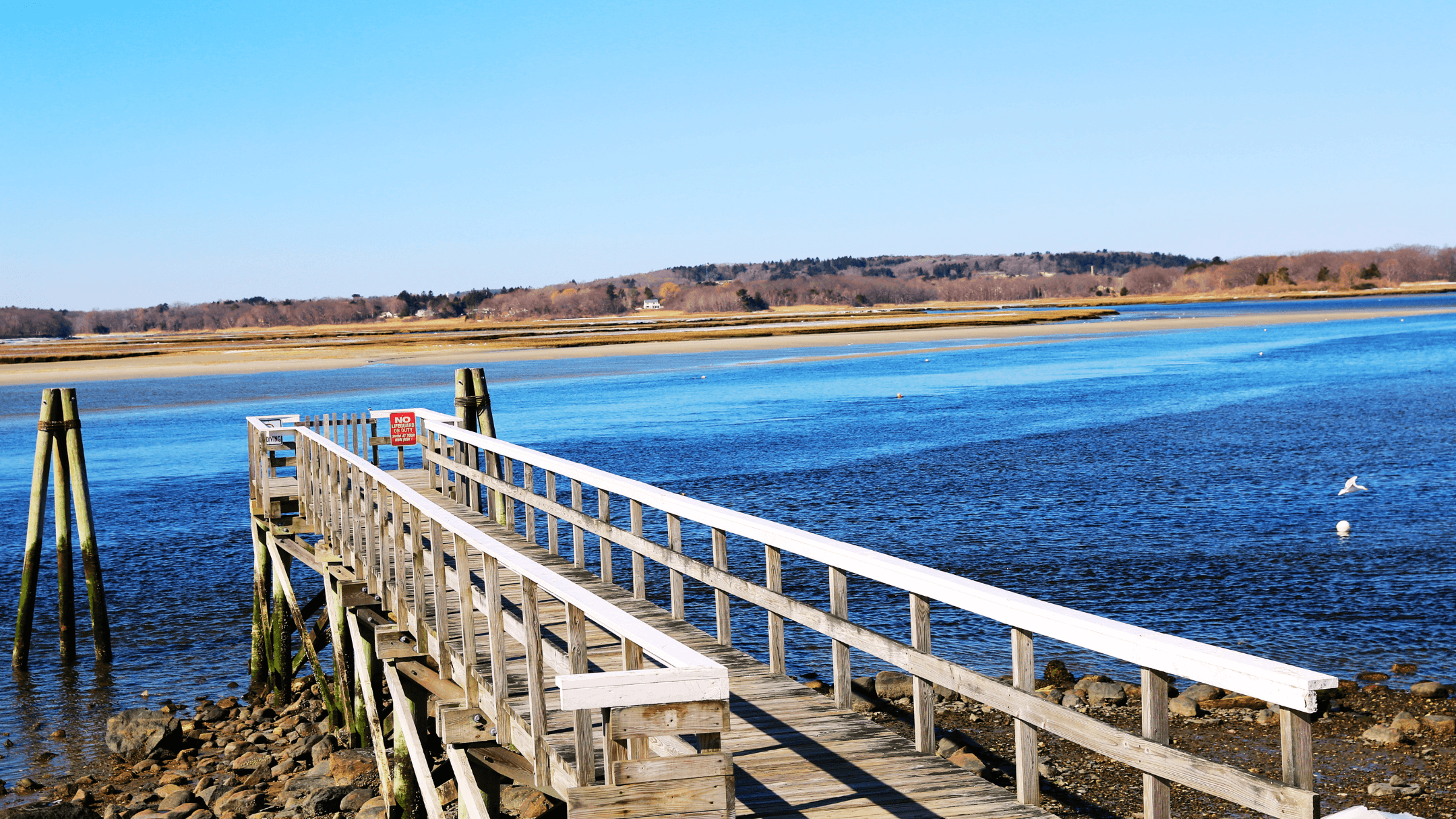
~5 miles south; larger coastal town with Crane Beach and the country's densest concentration of First Period houses.
Newburyport
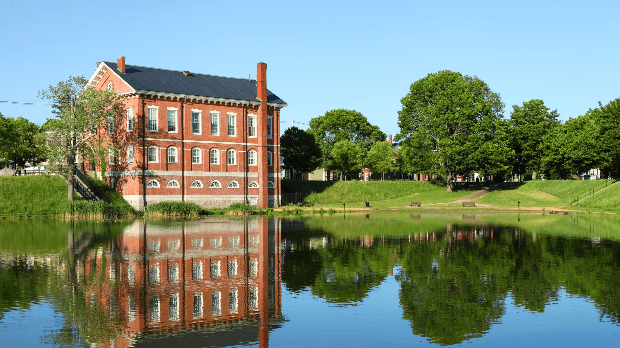
~8 miles north; the region's walkable small city with its own MBTA stop one stop further up the same line.

Georgetown
Originally part of Rowley itself (settled as "New Rowley"); larger and inland, with no Commuter Rail station of its own.

Byfield (Newbury)
Borders Rowley to the north; home to The Governor's Academy and the shared Triton Regional school campus.
FAQ
Rowley Real Estate — Frequently Asked Questions
What is the property tax rate in Rowley?
Rowley's FY2026 residential tax rate is $12.09 per $1,000 of assessed value, flat versus FY2025's $11.77.
How do I commute to Boston from Rowley?
Rowley has its own MBTA Commuter Rail station on the Newburyport/Rockport Line into Boston's North Station, though some trains stop here only on request. Driving to Logan Airport is roughly 28 miles and typically 39-42 minutes without traffic.
Are there flood risks to consider?
First Street Foundation rates Rowley's flood risk as moderate, with about 4.9% of properties at risk over the next 30 years — homes near the Rowley River, Mill River, or Great Marsh should check FEMA flood maps for the specific parcel.
Is Rowley walkable?
No — Rowley scores 40/100 ("Car-Dependent") on Walk Score; most errands require a car.
What's the current home price range in Rowley?
Third-party estimates are broadly consistent: Zillow shows an average home value near $813K and a median list price near $756K; Realtor.com shows a median listing price of $814K with 28 active listings.
Who provides water and sewer service?
Rowley's municipal water system serves about 90% of the town, with the rest on private wells. Rowley has no municipal sewer system at all — every home and business uses an on-site septic system.
What schools would my kids attend?
Rowley operates its own Pine Grove Elementary School, and is part of the Triton Regional School District (with Newbury and Salisbury) for middle and high school, both on the Byfield campus.
Ready to Explore Rowley?
Connect with Bentley's Real Estate for current listings, showings, and local market insight in Rowley and across Greater Newburyport.