
Essex County, Massachusetts
Groveland Homes For Sale
MA
0
Population (2020 Census)
0
Year Incorporated
$0
Median Sale Price (Dec 2024)
0 sq mi
Land + Water Area
Location
Where Groveland is Located
Live Listings
Homes For Sale in Groveland, MA
Listing information is provided by the MLS. Information is deemed reliable but not guaranteed and should be independently verified. Listings displayed may be subject to prior sale or withdrawal.
A Local's Perspective
Groveland, Massachusetts: A Merrimack River Town Between Haverhill and Georgetown
Groveland's roots trace back to 1639, when Rev. Ezekiel Rogers led about twenty families from Rowley, Yorkshire, England to settle a plantation grant stretching between the Merrimack River and Ipswich — the same founding grant that would eventually split into Rowley, Georgetown, Groveland, Boxford, and Bradford. Groveland itself began as Bradford's East Parish before growing large enough to strike out on its own: it was incorporated as a separate town on September 9, 1850, a date still marked locally as "Groveland Day."
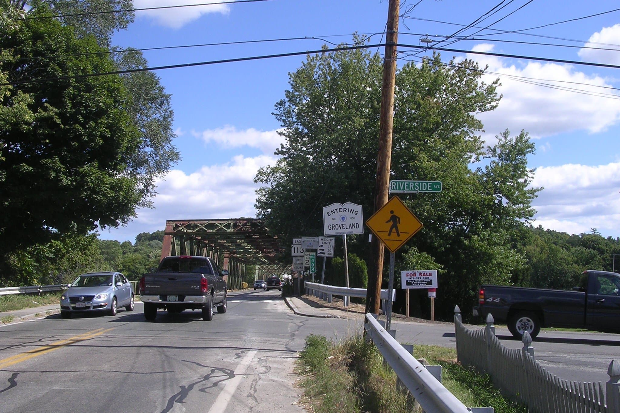
Sitting on the south bank of the Merrimack River directly across from Haverhill, Groveland grew through the 19th and 20th centuries as a quiet residential counterpart to its larger industrial neighbor, connected across the river by the Bates Bridge — a crossing with its own long history, from an 1882 swing bridge through a 1913-14 truss rebuild after a fire to the modern $49.7 million, 775-foot span that opened in 2013. Population held around 3,300 in 1960 before roughly doubling through the 1960s-70s suburban growth wave, settling in the 6,000-6,500 range it has held since.
Today Groveland is a compact, largely residential town of about 6,750 people across 9.4 square miles, split between the main village along Main Street/Route 113 and the South Groveland neighborhood near Georgetown. The Merrimack riverfront, Elm Park's small-town downtown green, and easy access to both Haverhill's commuter rail and I-495 give Groveland a quieter, more affordable alternative within the same Merrimack Valley/Greater Newburyport orbit as its neighbors — as of December 2024 the median home sale price stood at $620,000, up modestly year-over-year, per Rocket Homes market data.
At a Glance
- Population (2020 Census)
- 6,752
- Land + Water Area
- 9.4 sq mi
- County
- Essex County, MA
- FY2025 Property Tax Rate
- $12.69 per $1,000 assessed value
- Walk Score (sampled)
- ~26 (Car-Dependent)
Source-verified as of 2026-08-04.
Highlights
Why People Choose Groveland
The Pines Recreation Area
Groveland's main recreation complex, with basketball courts, baseball/softball diamonds, a dog park, tennis and pickleball courts, a playground, Merrimack River access, and nature trails.

Elm Park
The town's small downtown green, with a gazebo, fountain, clock, and war memorials at the heart of Main Street.
Bates Bridge
The Merrimack River crossing to Haverhill, with roots as an 1882 swing bridge and a modern $49.7 million, 775-foot span that opened in 2013.
Groveland Congregational Church
Home to one of only two Paul Revere-cast bells still in active service in the region.
Crane Pond Wildlife Management Area
Over 2,500 acres of forest, marsh, and vernal pools shared with Georgetown, Newbury, and West Newbury — popular for birding, hiking, and paddling.
Washington Park & Nuns' Hill
A recreation area serving the South Groveland neighborhood near the Georgetown line.
Neighborhoods
Groveland's Neighborhoods & Villages
Groveland Center
The main village along Main Street/Route 113, anchored by Elm Park, Town Hall, and the Groveland Congregational Church.
South Groveland
A separate residential neighborhood near the Georgetown line, home to Washington Park/Nuns' Hill and the Groveland Historical Society's Shanahan Field headquarters.
Merrimack riverfront
Homes and The Pines Recreation Area along the south bank of the Merrimack, across from Haverhill via the Bates Bridge.
Lifestyle
Life in Groveland
Groveland's day-to-day rhythm centers on the Merrimack River, a small Main Street downtown, and easy proximity to Haverhill's shopping and commuter rail across the Bates Bridge.
Parks & Recreation
Parks in Groveland
The Pines Recreation Area
- basketball courts
- baseball/softball diamonds
- dog park
- tennis & pickleball courts
- playground
- Merrimack River access
- nature trails
Elm Park
- gazebo
- fountain
- town clock
- war memorials
- landscaped downtown green
Washington Park & Nuns' Hill
- neighborhood recreation area (South Groveland)
Crane Pond Wildlife Management Area
- birding
- hiking
- canoeing/paddling
- vernal pool habitat
- hunting (in season)
Schools
Schools Serving Groveland
Public Schools
Dr. Elmer S. Bagnall Elementary School (K-6)
Elementary
Pentucket Regional Middle School (7-8, West Newbury)
Middle
Pentucket Regional High School (9-12, West Newbury)
High
Private Schools
The Governor's Academy (Byfield, MA)
9-12, boarding & day
School assignments are subject to change — always verify directly with the school district before making a decision. Source (verified 2026-08-04)
HOA & Condo Communities
Groveland Associations
Groveland has a couple of genuine condo/townhouse HOA communities alongside its predominantly single-family housing stock.
Whitestone Village
A 55+ community of 100 townhouse units across 12 buildings on Diane Circle and Alyssa Drive, with a clubhouse and HOA-maintained grounds.
Groveland Commons
A 43-unit condominium townhouse trust at 1-43 Groveland Commons Way.
Nearby Communities
How Groveland Compares

Georgetown
Neighboring town to the southeast, sharing Crane Pond Wildlife Management Area and a similar wooded, small-town Essex County character.
West Newbury
Shares the Pentucket Regional school district and a similar small-town Merrimack Valley feel just to the east.

Haverhill
Directly across the Merrimack River via the Bates Bridge, with MBTA commuter rail service Groveland residents typically use.

Boxford
Neighboring town to the southwest with a comparable rural, wooded residential character.
FAQ
Groveland Real Estate — Frequently Asked Questions
What is the property tax rate in Groveland, MA?
Groveland's FY2025 residential tax rate is $12.69 per $1,000 of assessed value (the most recently published rate at time of writing).
How long is the commute from Groveland to Boston?
It's about 34 miles and roughly a 45-minute drive via I-495/I-95 in normal traffic. Groveland has no commuter rail station of its own; residents typically cross the Bates Bridge into Haverhill to board MBTA trains into North Station.
Is Groveland at flood risk?
Groveland sits on the south bank of the Merrimack River, so riverfront properties should be checked against FEMA flood zone maps; inland areas away from the river and Crane Pond's wetlands carry comparatively low flood risk.
Is Groveland walkable?
Mostly car-dependent — sampled residential addresses score in the roughly 12-30 range on Walk Score, though the small Main Street/Elm Park downtown area itself is more walkable.
What's the price range for homes in Groveland?
As of December 2024, the median sale price was $620,000, up about 3.4% year-over-year, with roughly 25 homes on the market at any given time per Rocket Homes market data.
Are there condos or townhouses in Groveland?
Yes — Whitestone Village (a 55+ community of 100 townhouse units) and Groveland Commons (a 43-unit condominium trust) are both established HOA communities in town, alongside the predominantly single-family housing stock.
What schools serve Groveland?
Groveland's own Dr. Elmer S. Bagnall Elementary School (K-6) is in town; middle and high school students attend Pentucket Regional Middle School and Pentucket Regional High School, both on a shared campus in neighboring West Newbury, alongside students from Merrimac and West Newbury.
Thinking About a Move to Groveland?
From the Merrimack riverfront to a walkable Main Street green, Groveland offers a quieter, more affordable alternative just across the river from Haverhill. Connect with Bentley's Real Estate for current Groveland listings and local market guidance.